IMD Issues Heavy Rain Alerts for Several Odisha Districts
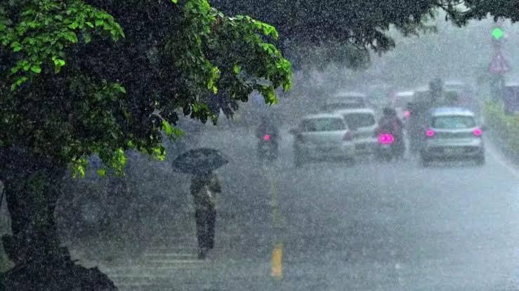
Bhubaneswar: The India Meteorological Department (IMD) has issued a series of weather warnings for several districts in Odisha, forecasting intense rainfall and thunderstorms due to the formation of a low pressure area over Gangetic West Bengal and adjoining north Odisha.
According to IMD, the low pressure system developed at 8:30 AM on Saturday under the influence of a cyclonic circulation. It is expected to move slowly in a west-northwestward direction across Jharkhand and north Chhattisgarh over the next 2–3 days.

Weather Forecast for July 6:
- Red Warning:
Extremely heavy rainfall accompanied by thunderstorms, lightning, and gusty winds (30–40 kmph) is very likely at one or two places in Mayurbhanj, Keonjhar, Sundargarh, and Sambalpur districts. - Orange Warning:
Heavy to very heavy rain with thunderstorms and lightning is likely in Jharsuguda, Bargarh, Balangir, Sonepur, Boudh, Deogarh, Angul, Dhenkanal, Jajpur, Balasore, Bhadrak, Kandhamal, and Kalahandi. - Yellow Warning:
Heavy rain and thunderstorm with lightning and gusty winds (30–40 kmph) may occur at one or two places in Kendrapara, Jagatsinghpur, Cuttack, Nayagarh, Nuapada, Rayagada, Koraput, Nabarangpur, and Malkangiri.
Weather Forecast for July 7:
- Orange Warning:
Heavy to very heavy rainfall is likely at one or two places in Keonjhar, Angul, Deogarh, Sambalpur, Sundargarh, Jharsuguda, Bargarh, and Nuapada. - Yellow Warning:
Heavy rain and thunderstorms are expected in Balangir, Sonepur, Boudh, Kandhamal, Kalahandi, Nayagarh, Cuttack, and Dhenkanal. Additionally, isolated thunderstorm activity with lightning and gusty winds may occur in Balasore, Bhadrak, Jajpur, Kendrapara, Jagatsinghpur, Deogarh, and Mayurbhanj.
Authorities have advised residents, especially in the warned districts, to stay alert and avoid venturing into waterlogged or low-lying areas. Disaster response teams have been put on standby as a precautionary measure.